-
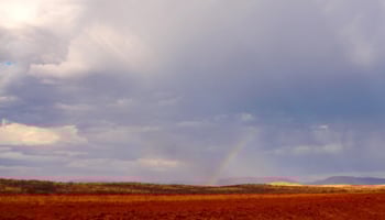
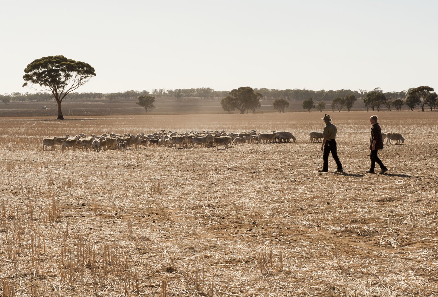
 The department supports the Western Australian agricultural sector in mitigating and adapting to the impacts of climate change.View more about Climate change
 -
 Use the Extreme weather events tool to help assess heat and frost damage. The tool uses data from the department's extensive weather station network to map air temperatures, relative humidity, dew point and more.View more about Extreme weather events tool
 -
 Historical rainfall, frost and heat maps for the South West Land Division (SWLD) for the period 1975 to 2023View more about Historical rainfall, frost and heat maps for the South West Land Division
 -
 Rainfall to Date graphs show the amount of rainfall accumulated from the start of the grain growing season and can be used as a seasonal decision-making tool.View more about Rainfall to date tool
 -
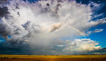
 This monthly outlook summarises national and international climate outlooks for the next three months for the South West Land Division.View more about Seasonal Climate Outlook Newsletter
 -
 The Soil water tool is used to provide an approximate of the amount of water accumulated in soil from the start of summer through to the grain growing season.View more about Soil water tool
 -
 Learn about the weather stations across Western Australia providing local weather data to help growers and community members make planning decisions.View more about Weather stations and radar
 -
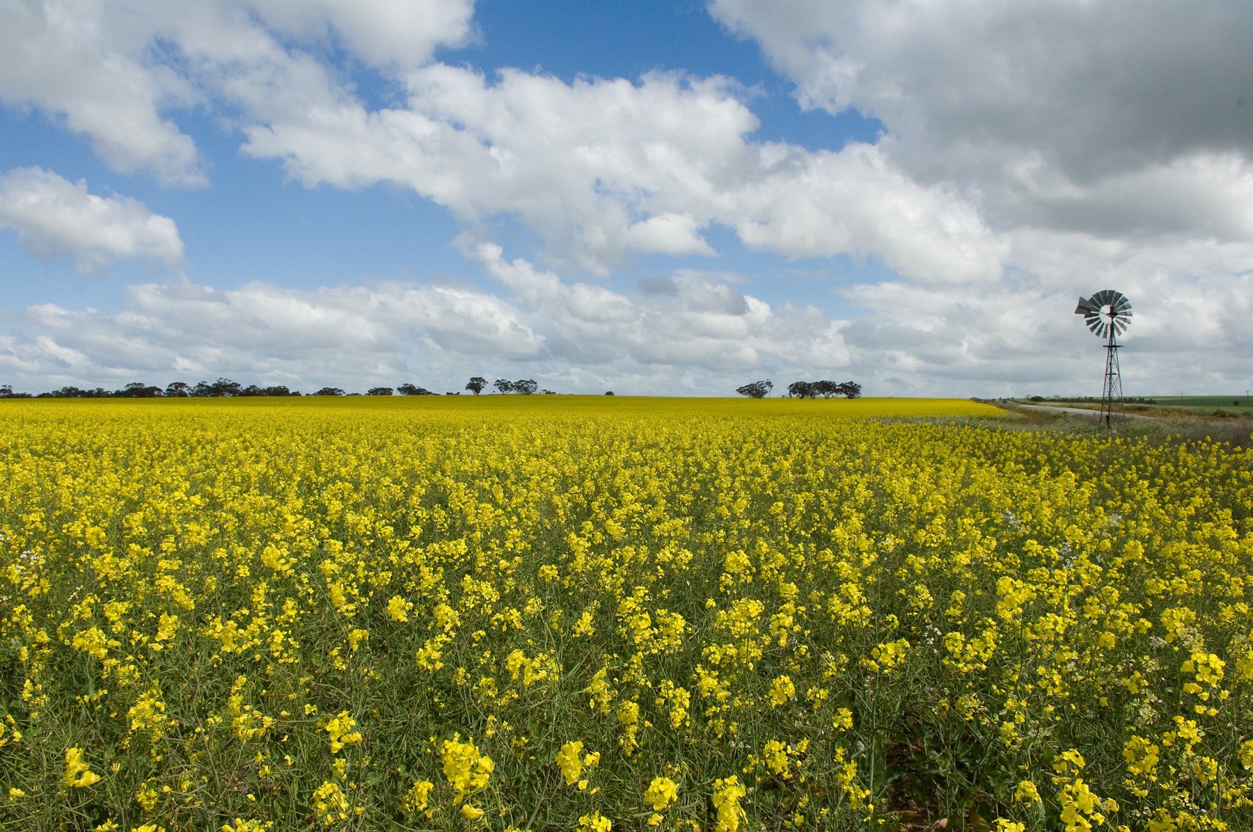
 Season 2026 provides seasonally relevant information and management options for primary industries across Western Australia.View more about Season 2026