Future projections are developed using Global Climate Models (GCMs) that consider various components of the Earth’s systems including:
- atmospheric processes
- land processes
- ocean temperatures and circulation
- sea ice
- aerosol and carbon cycle feedbacks.
Future climate projections for rainfall and temperature for the south west land division are determined through data from Climate Services for Agriculture.
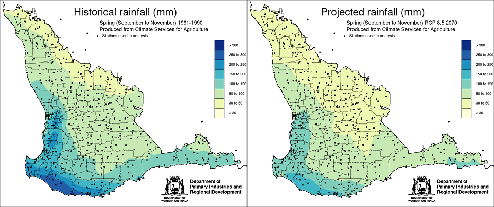
Maps
Rainfall
-
Summer (December to February)pdf (1.59 MB)
-
Autumn (March to May)pdf (1.68 MB)
-
Winter (June to August)pdf (1.68 MB)
-
Spring (September to November)pdf (1.5 MB)
-
Growing season (April to October)pdf (1.23 MB)
-
Out of season (November to March)pdf (1.51 MB)
-
Annual (January - December)pdf (1.55 MB)
Temperature and heat
-
Annual average maximum temperaturepdf (1.32 MB)
-
Annual average minimum temperaturepdf (1.38 MB)
-
Annual heat risk, days above 35°Cpdf (1.4 MB)
-
Days above 32°C, August to Novemberpdf (1.5 MB)
Future climate projections are derived from 8 GCMs from the Coupled Model Intercomparison Project (CMIP5) pool of models and is represented under 2 emissions scenarios. Greenhouse gas emissions or Representative Concentration Pathways, developed by the Intergovernmental Panel on Climate Change (RCP 4.5) assume that greenhouse gas emissions are reduced substantially by the end of the century, but not enough to stop continued warming. Under RCP 4.5 adaptation will become more difficult over time. High emissions (RCP 8.5) assume rapid increases in greenhouse gases to continue towards the end of the century. Under RCP 8.5 some systems are unlikely to be able to adapt to the large changes in climate.