Rangelands of Western Australia
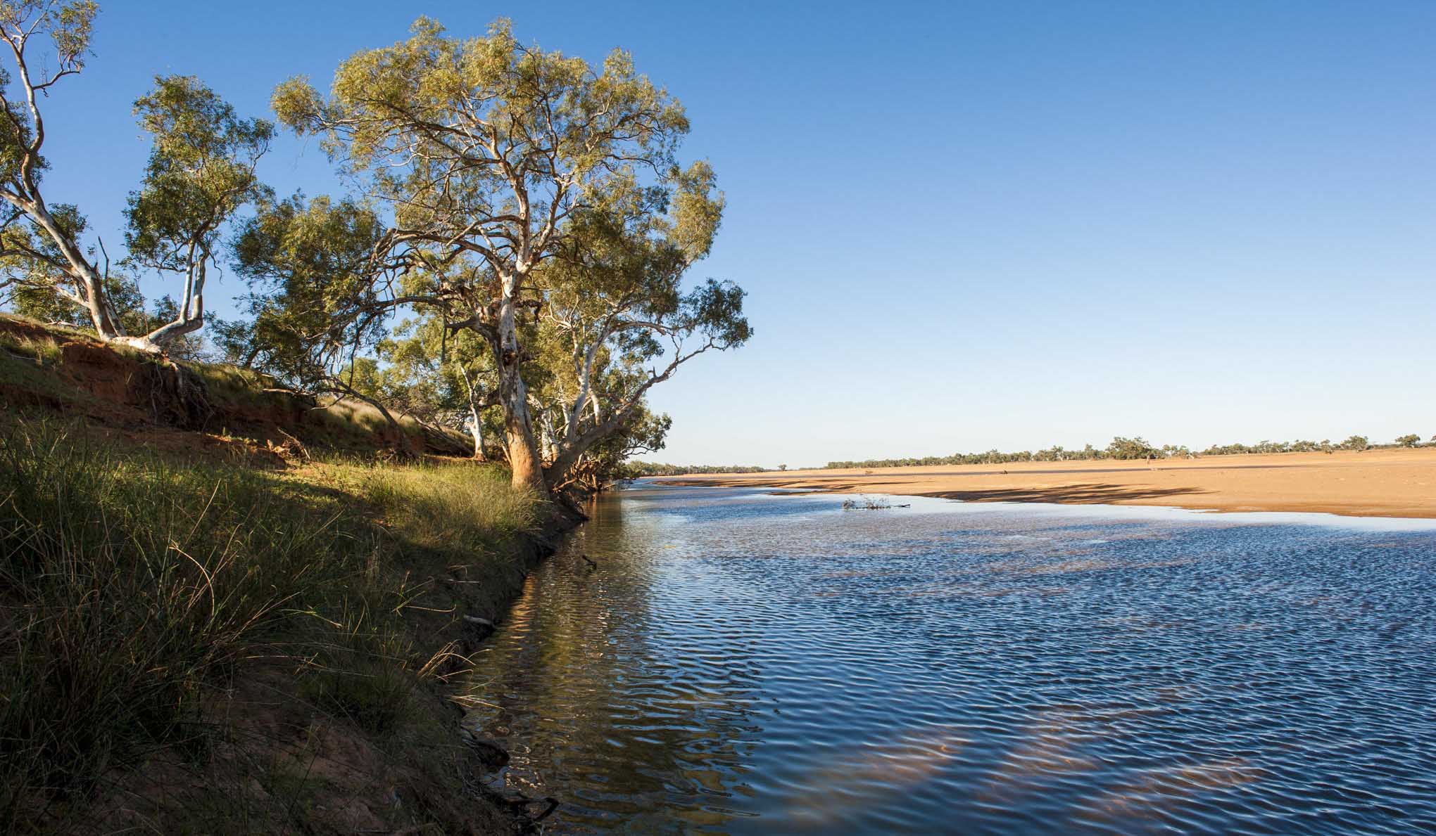
About three-quarters of Australia is classified as rangelands, with Western Australia’s (WA) rangeland region extending across a variety of climatic and resource conditions. WA’s rangelands have highly variable landscapes, covering 2.2 million square kilometres (87% of WA, which is all but the south-west agricultural region).
The rangelands consist of pastoral stations for grazing livestock, land vested for conservation, Indigenous purposes and unallocated Crown land. The rangelands have climates ranging from tropical to arid temperate; with topography including coastal plains, rocky ranges and semi-arid desert.
A map of all Western Australian pastoral land tenure is available in the DPIRD Digital Library.
View the Western Australian Pastoral Land Tenure mapNorthern rangelands and Southern rangelands
The department recognises two main rangeland types, based on dominant vegetation type:
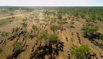
- The northern rangelands, which contains the Kimberley (206,775 km2) and the Pilbara (147,940 km2) regions. This is characterised by grasslands.
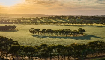
- The southern rangelands, which is mostly south of the Pilbara region and between the south-west agricultural region and the arid interior. It contains the Gascoyne (138,650 km2), Murchison (128,620 km2) and the Goldfields–Nullarbor (235,850 km2) regions. This is characterised by shrublands.
-
Kimberley land condition standards
-
Gascoyne, Murchison and Goldfields-Nullarbor condition standards
Pastoral Management
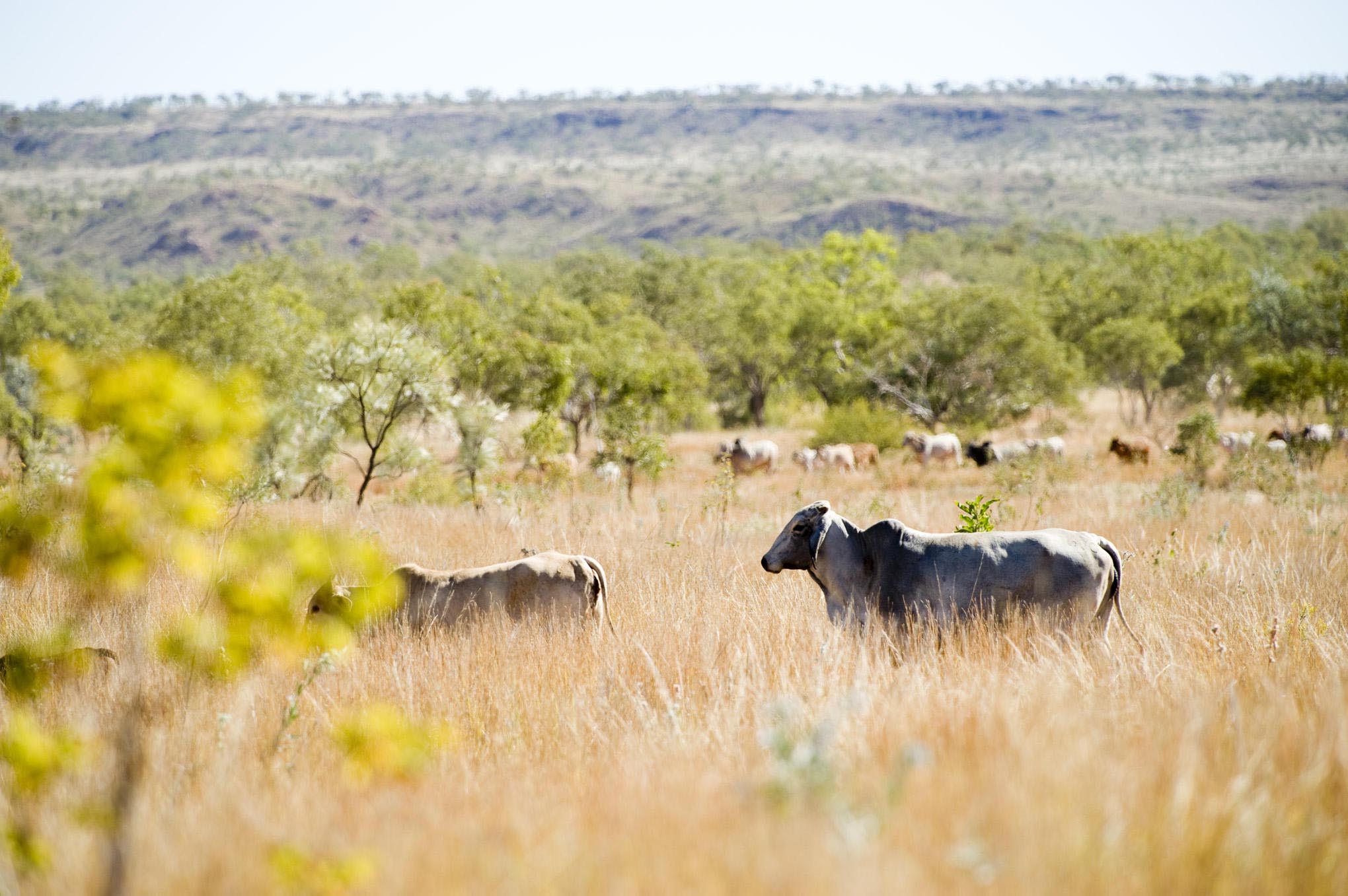
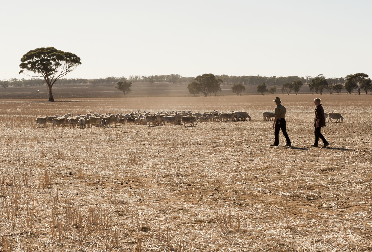
The goal of pastoralism is a profitable livestock business, while maintaining the pastures and soil in good condition. WA’s pastoral rangelands have highly variable landscapes, soils, vegetation and climate conditions. Rainfall, livestock grazing and fire have an impact on the rangelands.
The department works with landholders to improve land condition through monitoring, assessment, addressing existing issues and developing sustainable production systems. The legislation and frameworks below relate to this.
-
 Carbon farming refers to a range of practices that increase the amount of carbon stored in the landscape through the active management of vegetation and soil, or that avoid the release of greenhouse gases like methane and nitrous oxide by livestock and fire.View more about Carbon farming
 -
 The department supports the Western Australian agricultural sector in mitigating and adapting to the impacts of climate change.View more about Climate change
 -
 Dr Melanie Strawbridge is the Commissioner of Soil and Land Conservation. Staff of the Commissioner’s Office carry out administrative and inspectorial services under the direction of the Commissioner.View more about Commissioner of Soil and Land Conservation
 -
 Plants that are prevented entry into Western Australia or have control or keeping requirements are known as declared pests.View more about Declared plants
 -
 The Pastoral Remote Sensing application offers satellite-based mapping tools and related information for every pastoral lease in Western Australia.View more about Pastoral Remote Sensing
 -
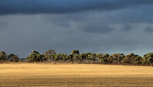
 The Season 2025 - agricultural region page contains seasonally relevant information and management options in the broadacre and south-west agricultural areas of Western Australia.View more about Season 2025 - agricultural region
Pastoral Land Tenure maps
-
WA State map
-
Gascoyne region map
-
Kimberley region map
-
Murchison region map
-
Pilbara region map
-
Goldfields-Nullarbor region map