-
 Find out about animal welfare in emergencies, legislation, reporting cruelty and more.View more about Animal welfare
 -
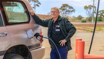 The Regional Pensioner Travel Card provides eligible pensioners with a financial subsidy towards the cost of fuel and/or taxi travel.View more about Regional Pensioner Travel Card
 -
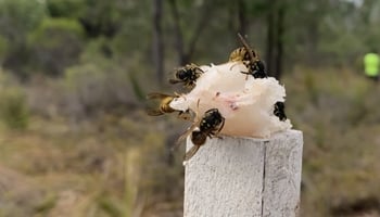
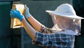 All persons keeping honey bees in Western Australia are legally required to register with the department.View more about Backyard beekeeping
 -
 Information about grants, schemes, disaster recovery funding, and support programs available to assist Western Australians.View more about Grants and support
 -
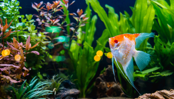 Information about keeping pet and ornamental fish in aquaria or other recirculating aquaculture systems.View more about Keeping pet and ornamental fish
 -
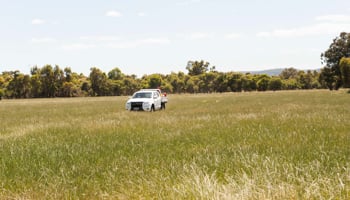 Property owners or managers must adopt sound biosecurity practices to reduce the risk of unwanted weeds, pests and diseases entering a farm or property and causing problems.View more about Managing your property
 -
 Reporting of pests, diseases, shark sightings, fish kills and illegal fishing.View more about Make a report
 -
 The department offers a range of newsletters to stay informed with the latest research and seasonal information.View more about Newsletters
 -
 Invasive pests, weeds and diseases pose a serious risk for growers as they can damage our natural environment, destroy our agriculture and food production industries, and even change our way of life. This section covers invasive pests, weeds and diseases and is not an exhaustive list.View more about Pests, weeds and diseases
 -
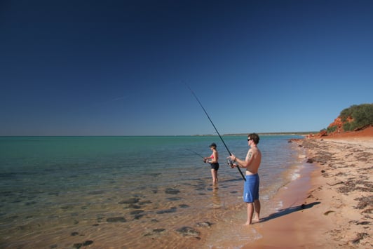
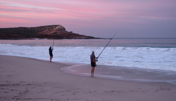 Find out about recreational fishing in Western Australia and the sustainable management that ensures we have fish for the future.View more about Recreational fishing
 -
 For students interested in learning more about the department and engaging with our educational programs and resources.View more about Students
 -
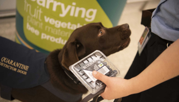 The department, through Quarantine WA, enforces strict biosecurity laws. Please check for any restrictions that may apply before importing to Western Australia (WA).View more about What can I bring into WA?