-
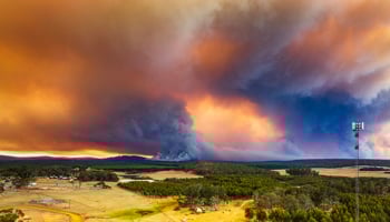 Use the Extreme weather events tool to help assess heat and frost damage. The tool uses data from the department's extensive weather station network to map air temperatures, relative humidity, dew point and more.View more about Extreme weather events tool
 -
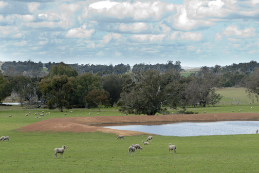 This interactive map is a guide for locating potential sites for new farm dams, and also provides information to help determine where existing dams may be at risk from dryland salinity.View more about Hydro Guide interactive map
 -
 Use the Irrigation calculator for broad guidance on the water requirements of commercial crops produced in Western Australia based on average weather data from the past 25 years and several variables.View more about Irrigation calculator
 -
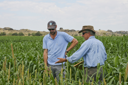
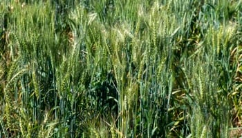 The potential yield tool uses seasonal rainfall and decile finishes, calculated from historical data, to calculate the maximum wheat yield possible in the absence of any other constraints.View more about Potential yield tool
 -
 Rainfall to Date graphs show the amount of rainfall accumulated from the start of the grain growing season and can be used as a seasonal decision-making tool.View more about Rainfall to date tool
 -
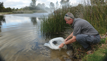
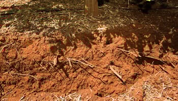 The Soil water tool is used to provide an approximate of the amount of water accumulated in soil from the start of summer through to the grain growing season.View more about Soil water tool